High RhönBavariaHesseThuringia

Lange Rhön

Land of open horizons

Scroll down

The landscape

Space, silence and remarkable nature

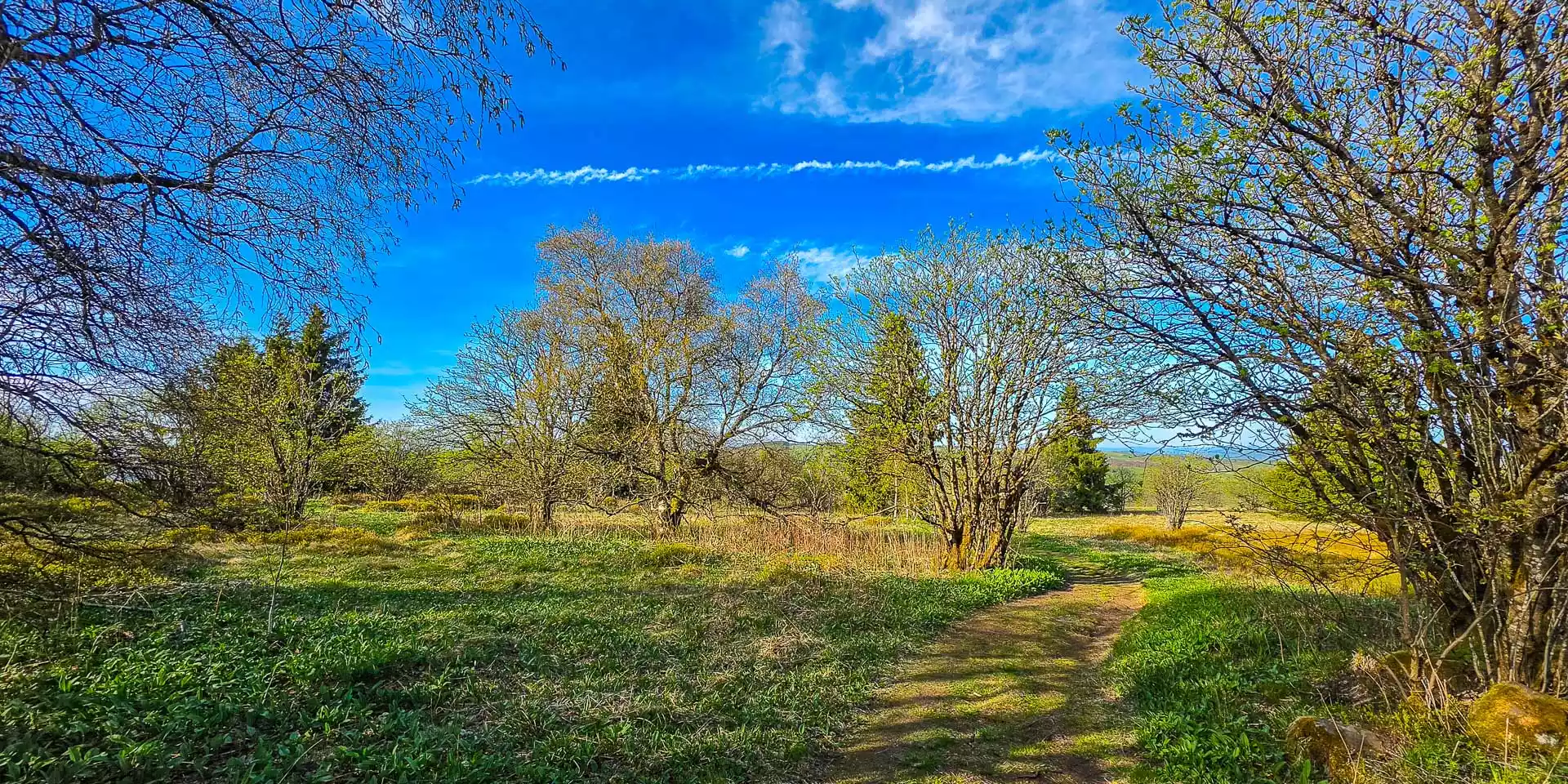
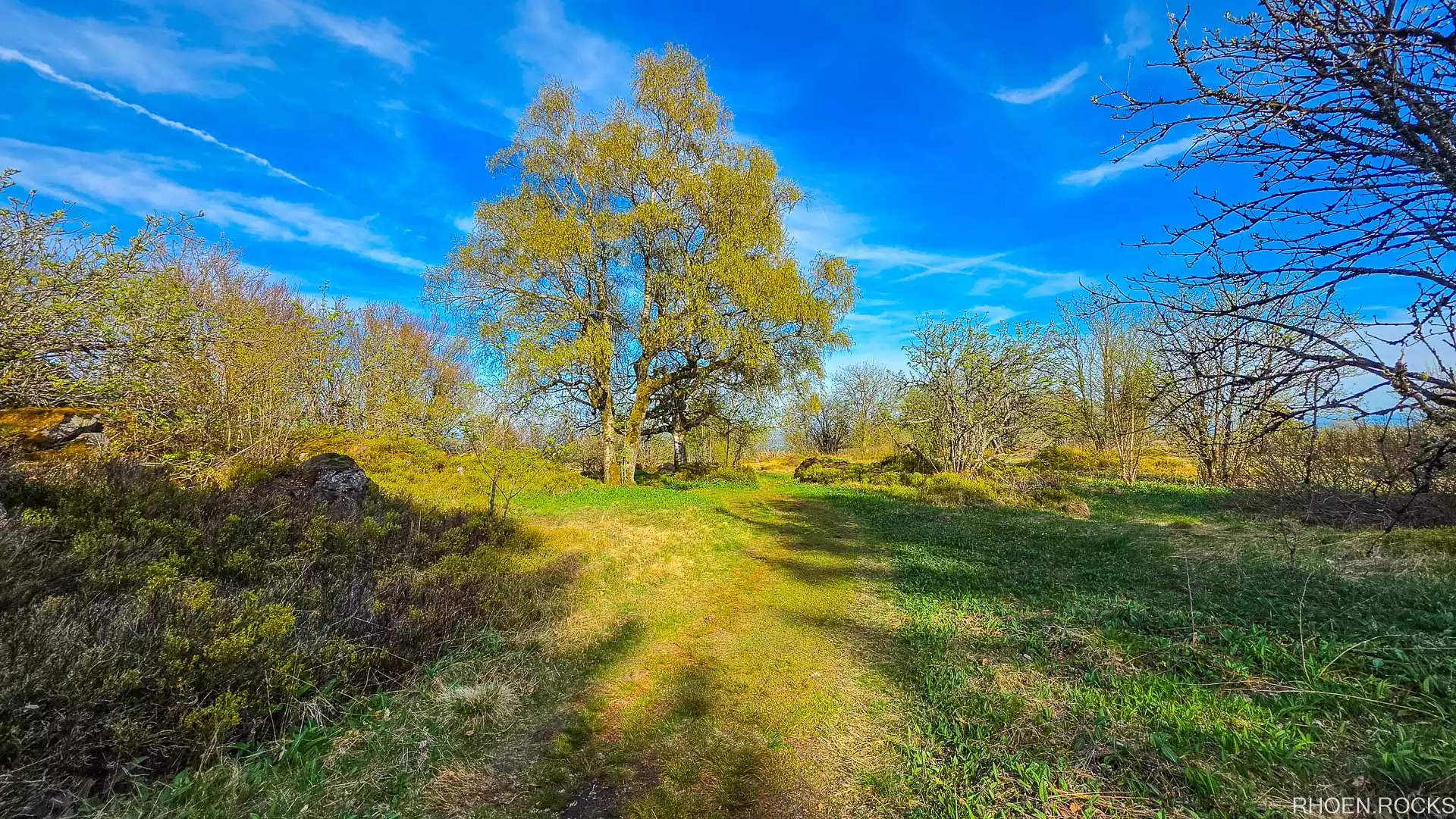
The Lange Rhön – the “Long Rhön” – is a landscape full of space, silence and remarkable encounters with nature. Between gentle high plateaus, striking basalt and raised bogs, surrounded by wide valleys, it has its own charm in every season.

Walk through the Rotes Moor and the Schwarzes Moor, take in the panorama from the Heidelstein or discover the tri-state point of Bavaria, Hesse and Thuringia, the geographical high point of the region. Only the Hochrhönstraße runs right through this unique landscape, opening up ever new views far into the surrounding countryside.

Other special viewpoints and natural sights include the basalt prism wall and the Rother Kuppe, while the Ulster and Els valleys delight with quiet paths and varied scenery. Whether hiking through unspoilt nature or riding varied mountain-bike routes – the Lange Rhön invites you to get outside and explore the region actively.

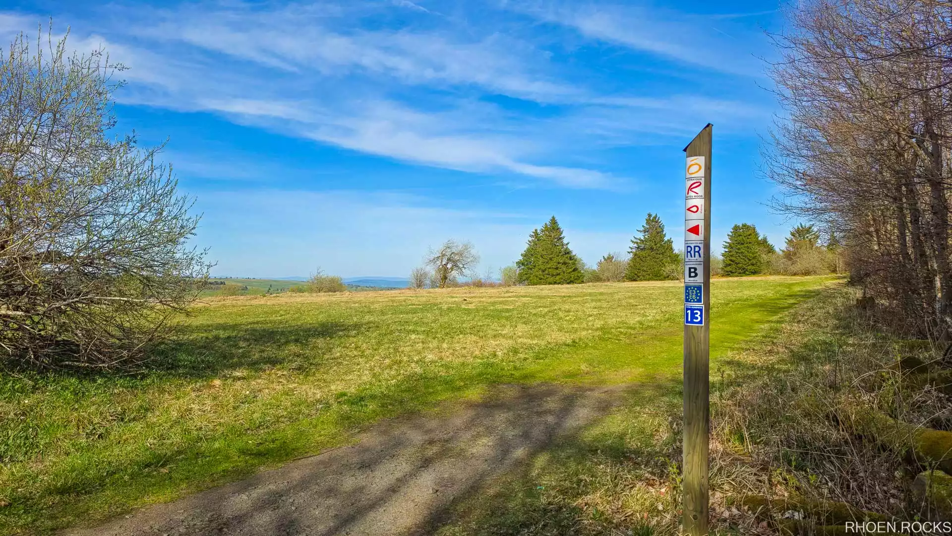
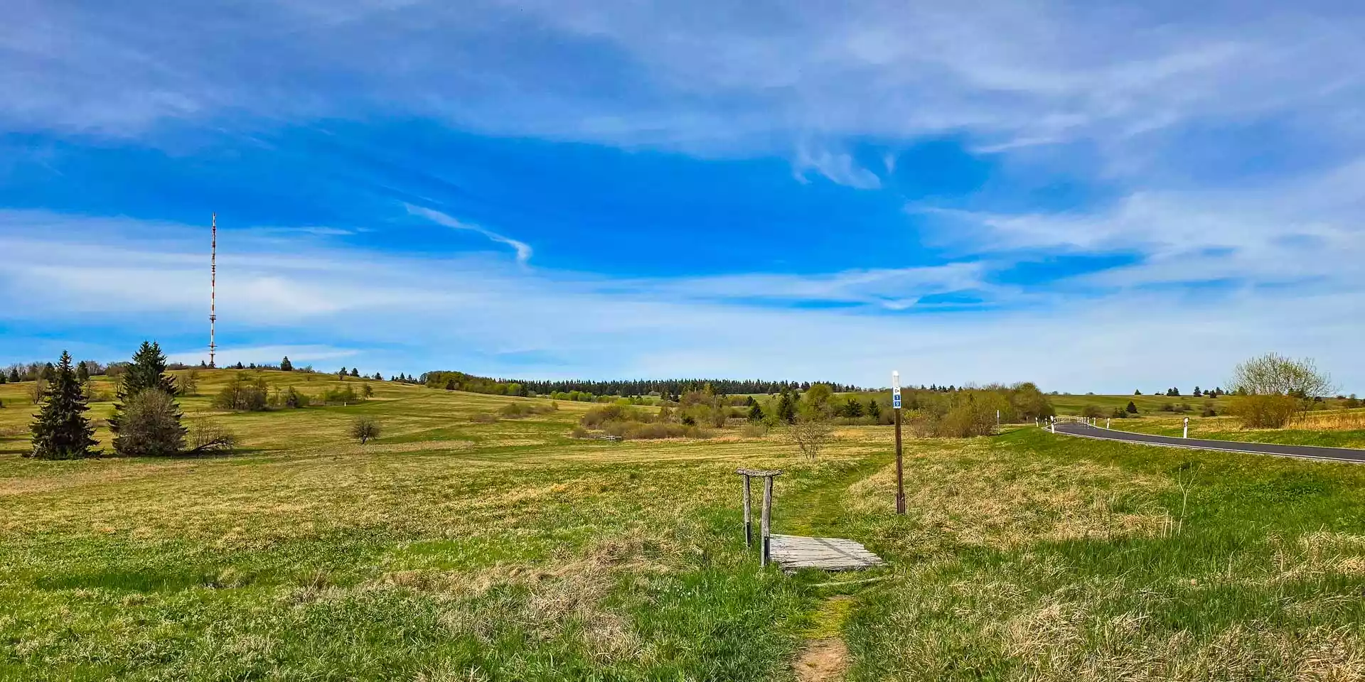
The wide high plateau of the Lange Rhön with the Heidelstein transmitter on the horizon – Enlarge image
926mHeidelstein – highest summit of the Lange Rhön
25kmHochrhönstraße across the plateau
3federal states meet at the tri-state point
25Myears old – the Rhön basalt

The “Rhön Highway”

Hochrhönstraße: from Bischofsheim to Fladungen

The Hochrhönstraße (St 2288) runs for 25 km across the high plateau of the Lange Rhön, from Bischofsheim in the Brend valley (approx. 440 m above sea level) to Fladungen.

With its hairpin bends, wide plateaus and panoramic views it is a real highlight for drivers, cyclists and hikers – a must on any trip to the Rhön. Coming from Bischofsheim, at up to 840 m you pass the Rothsee, the Holzberghof hunting lodge, the Heidelstein (926 m) and the Schwarzes Moor before a series of bends leads back down into the valley.

Feeder roads

Picturesque side roads join the Hochrhönstraße from east and west: winding roads branch off from Ginolfs, Roth, Hillenberg, Hausen, Oberelsbach, Seiferts and Wüstensachsen, also crossing the High Rhön – perfect for round trips or for reaching the bogs and summits.

Please note

  • Parking is only permitted in designated car parks.
  • In winter the road may be closed due to snowdrifts.
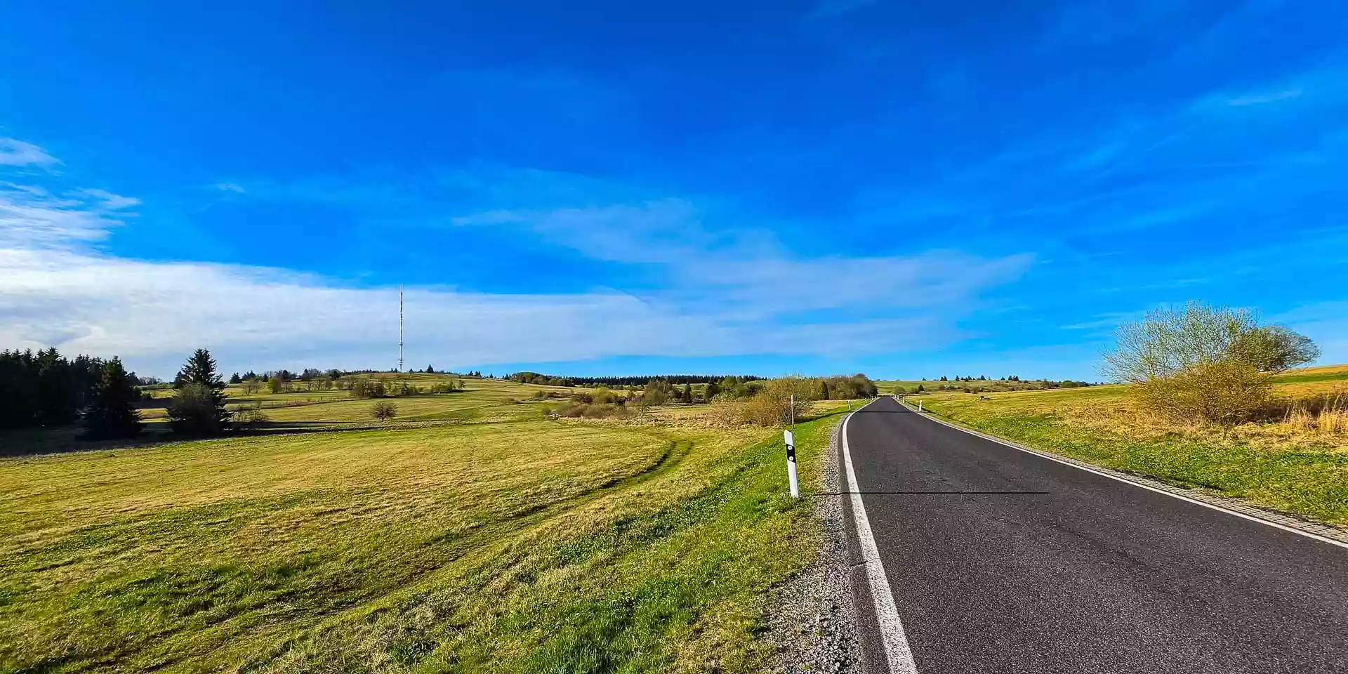
The Hochrhönstraße running straight across the open plateau – Enlarge image
Wide views along the Hochrhönstraße

Explore the elevation profile

500 m700 m900 m Heidelstein 926 m 440 m 840 m 0 km5 km10 km15 km20 km25 km BischofsheimRothseeHolzberghofHeidelsteinSchwarzes MoorFladungen
  • Bischofsheim: Start in the Brend valley at approx. 440 m. Hairpin bends climb over the Bauersberg onto the plateau.
  • Rothsee: Hikers’ car park on the Bauersberg – with the selfie point and the “Einigkeit” show mine close by.
  • Holzberghof: The Holzberghof hunting lodge sits right on the road. Up here the road reaches up to 840 m.
  • Heidelstein: At 926 m the highest mountain of the Lange Rhön – on foot e.g. from the Schornhecke car park. At the top: a 360° panorama and the Rhönklub memorial.
  • Schwarzes Moor: Raised bog near the tri-state point of Bavaria, Hesse and Thuringia – then the road winds down.
  • Fladungen: The end after about 25 km: Fladungen on the northern edge of the High Rhön.

Schematic illustration, values rounded.

Out and about

Highlights of the Lange Rhön

Summits, basalt, a mine and a bog – seven places where the Lange Rhön tells its story.

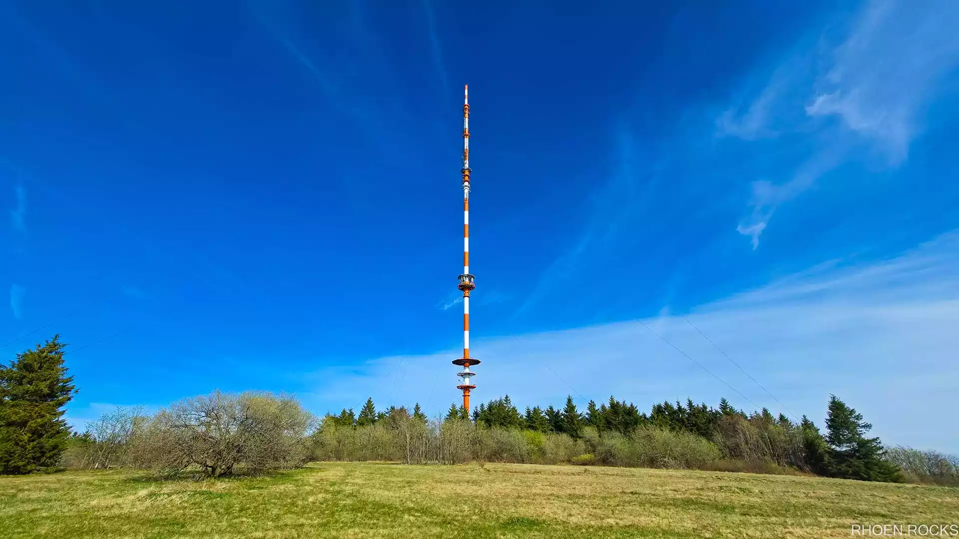
The transmitter mast above the summit meadow of the Heidelstein – Enlarge image

The summit of the Heidelstein in the Bavarian Rhön

  • 926 m a.s.l.
  • 360° panorama
  • Hochrhöner trail

The Heidelstein (926 m) is the highest mountain of the Lange Rhön. Its summit rises as a gentle dome above the surrounding landscape – a landmark of distinctive beauty with an unrivalled 360° view across the tri-state area of Bavaria, Hesse and Thuringia.

Location and access

Centrally located in the High Rhön, close to the Hochrhönstraße between Bischofsheim and Fladungen, the summit can be reached on hiking trails – ideal for a day trip or as a stage of a longer hike, for example on the Hochrhöner premium long-distance trail.
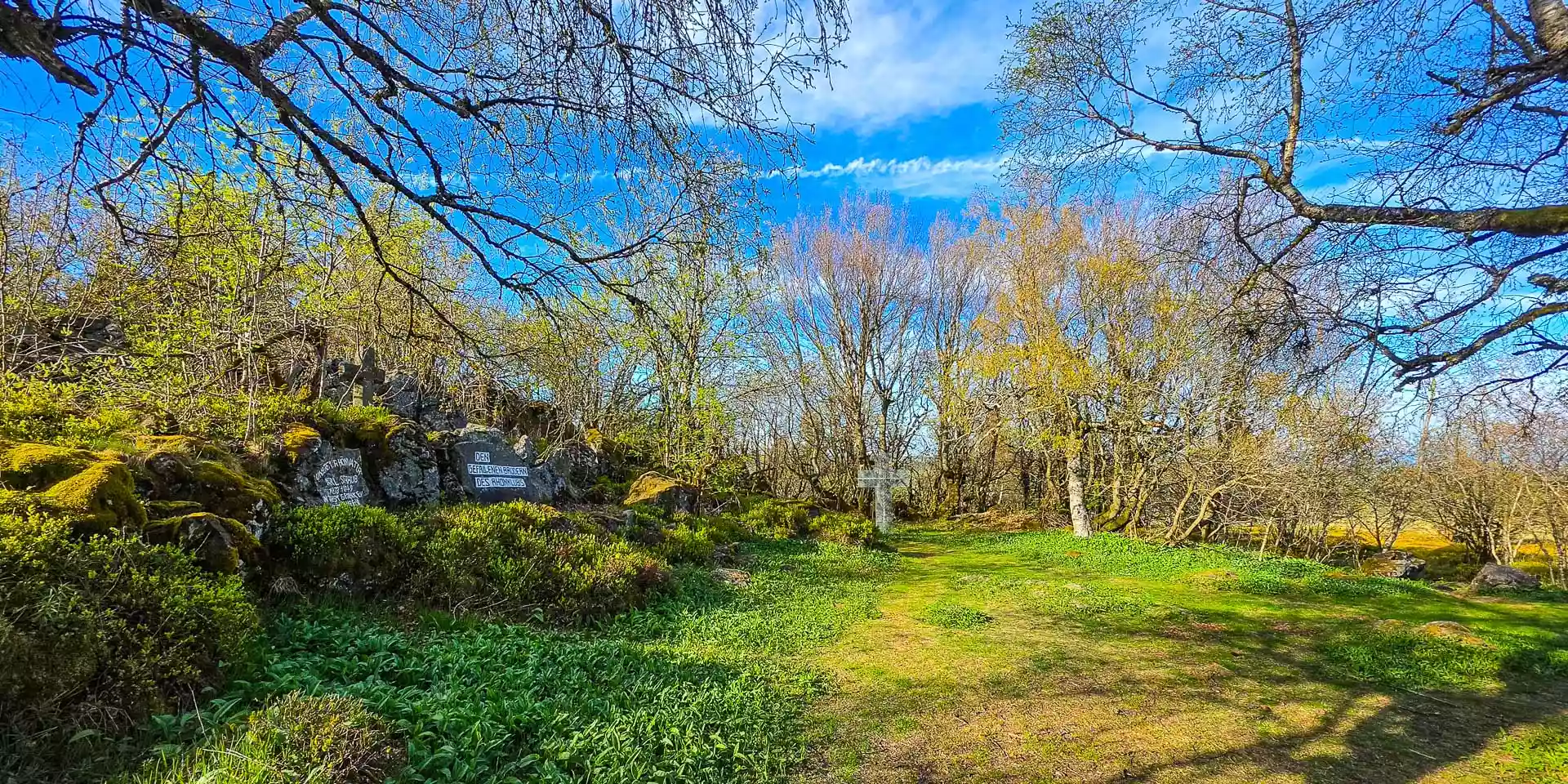
The Rhönklub memorial made of basalt on the Heidelstein – Enlarge image

The Rhönklub memorial on the Heidelstein

  • 926 m a.s.l.
  • Memorial

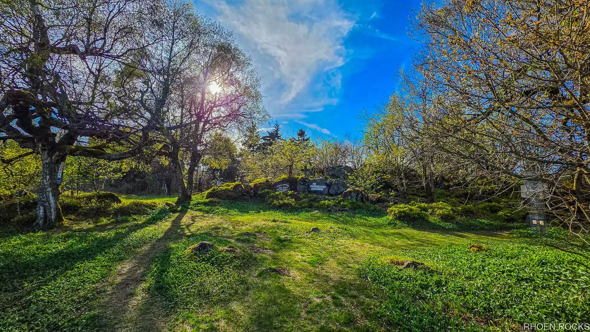
The Rhönklub memorial on the summit of the Heidelstein is a moving monument of rough Rhön basalt with a bronze relief. It commemorates 18 Rhönklub members who lost their lives during the Nazi era – a place of quiet remembrance amid the wide landscape of the High Rhön.

From here the view reaches as far as the Vogelsberg, across the tri-state area and the plain of the Schwarzes Moor. The memorial can be reached, for example, via a trail from the Schornhecke car park.

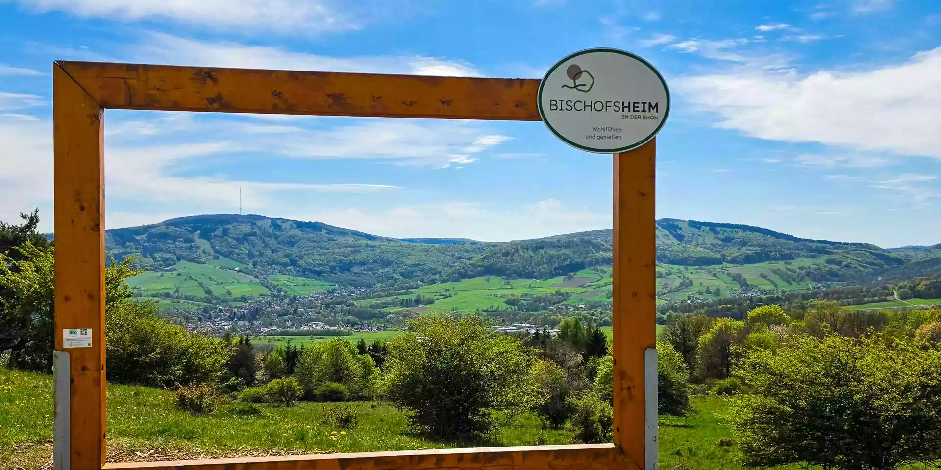
Selfie frame on the Bauersberg looking over Bischofsheim towards the Kreuzberg – Enlarge image

Selfie point on the Bauersberg

  • Bischofsheim
  • Viewpoint

Follow the Bauersbergstraße north from Bischofsheim and, after a few bends, you reach the turn-off to the hikers’ car park at the Rothsee. Here a selfie point invites you to capture and share the magnificent view over Bischofsheim towards the Kreuzberg, Arnsberg and Himmeldunk.

Directions (OpenStreetMap) (opens external site)

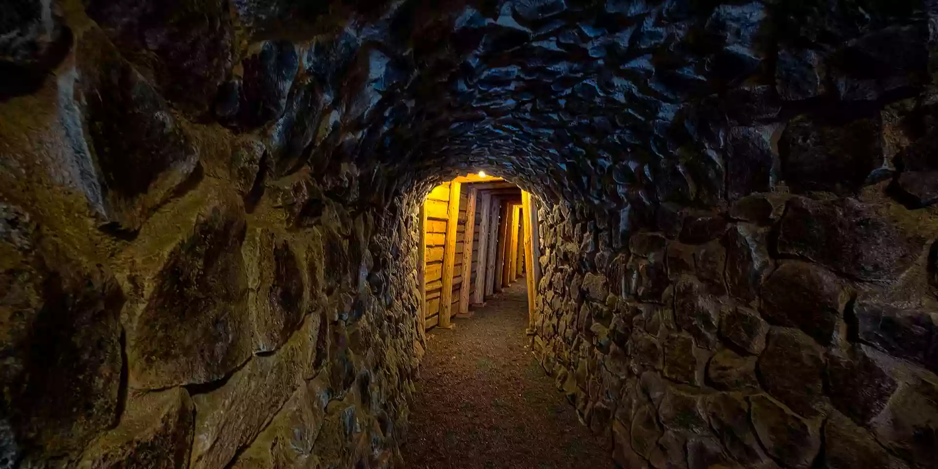
Lit tunnel inside the Einigkeit show mine – Enlarge image

“Einigkeit” show mine

  • Rothsee
  • Mining history

The “Einigkeit” show mine at the Rothsee offers a fascinating insight into the history of lignite mining in the Rhön.

The tunnel is an impressive testimony to the region’s industrial past. Today it is a popular destination that tells of the hard work underground and of the geological features of the Bauersberg.

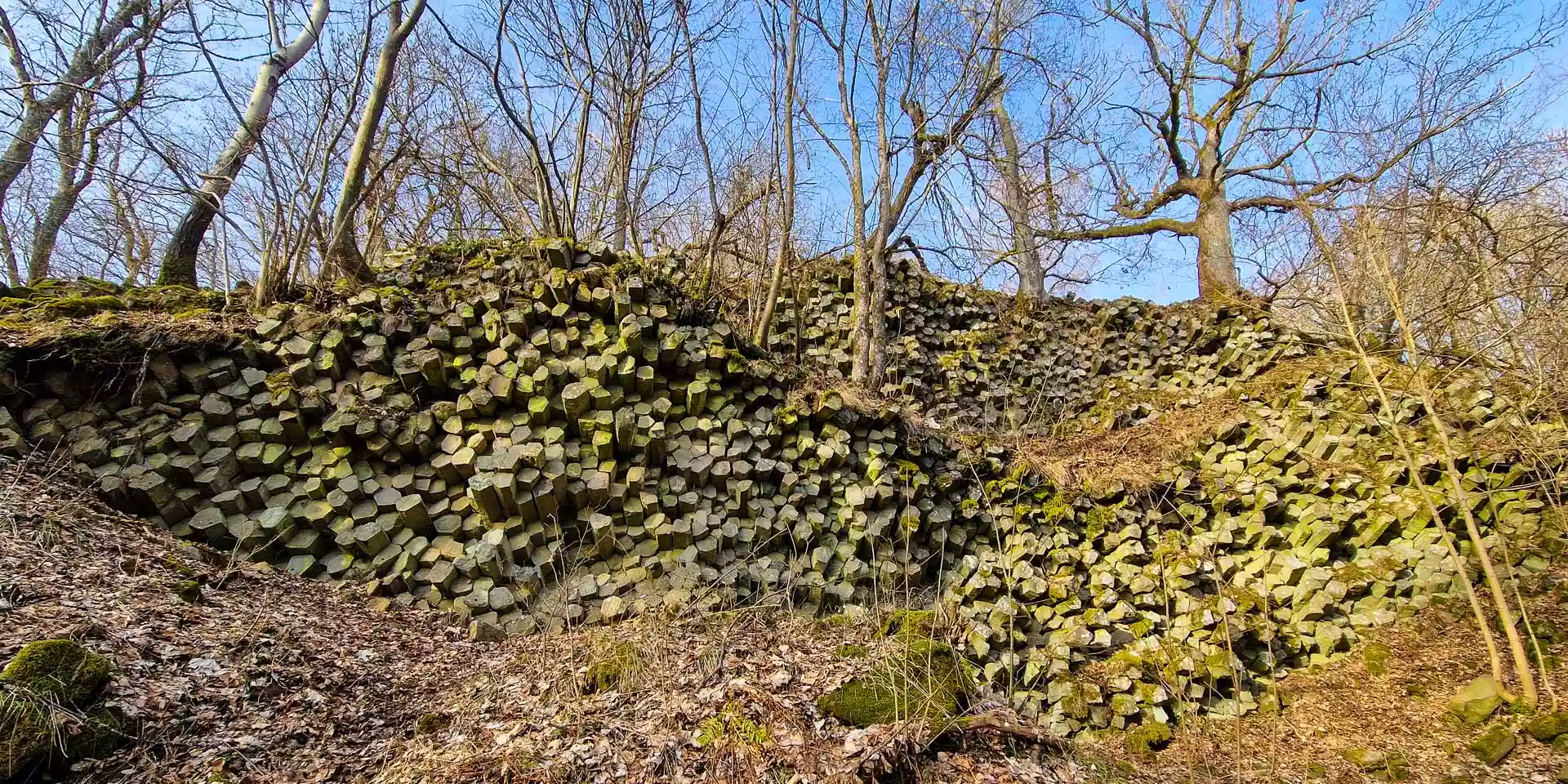
Hexagonal basalt columns of the basalt prism wall on the Gangolfsberg – Enlarge image

Basalt prism wall on the Gangolfsberg

  • approx. 790 m a.s.l.
  • Natural monument

The basalt prism wall on the Gangolfsberg is a spectacular natural monument: hexagonal basalt prisms rise like a giant wall of polished columns – a sight that never fails to fascinate hikers.

It lies at about 790 m in the heart of the High Rhön and is easily reached from Bischofsheim or Bad Neustadt.

How it formed

The formation was created around 25 million years ago by volcanic activity: molten basalt lava cooled slowly, shrank evenly and, through contraction, formed natural, almost perfectly geometric columns – a geological wonder reminiscent of the Giant’s Causeway in Northern Ireland.

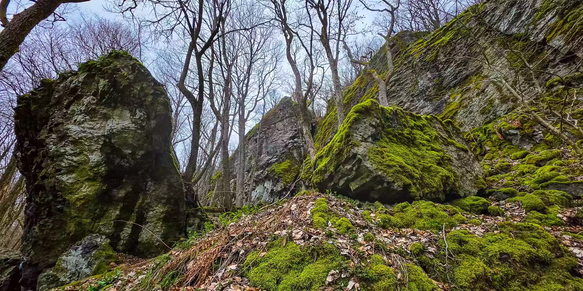
Moss-covered basalt rocks at the Teufelskeller – Enlarge image

Teufelskeller on the Gangolfsberg

  • approx. 780 m a.s.l.
  • Natural cave

The Teufelskeller (“Devil’s Cellar”) on the Gangolfsberg is a fascinating natural cave that opens as a narrow cleft in the basalt and, with its moss-covered walls, looks like a natural shaft – a special place to linger and take photos.

It lies on the slope of the Gangolfsberg at around 780 m, right next to the basalt prism wall, and is easily accessible on trails from Bad Neustadt or Bischofsheim.

How it formed

The cave dates back to the volcanism of about 25 million years ago: as the basalt cooled, shrinkage and gas inclusions created cracks and cavities, which erosion later widened into this striking shaft – a typical example of the Rhön’s volcanic geology.

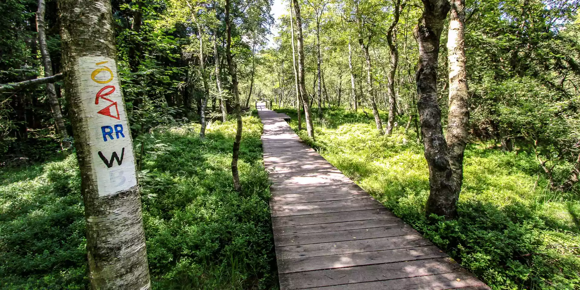
Wooden boardwalk through birch woods in the Rotes Moor – Enlarge image

Rotes Moor

  • Raised bog
  • Boardwalk

The Rotes Moor is one of the most beautiful raised bogs in the Rhön and a true natural highlight. A well-built wooden boardwalk lets you walk through the unique bog landscape without damaging it.

Whether a short stroll or part of a longer tour – this is a wonderful place to switch off, and along the way you learn about the history, flora and fauna of the bog.

Here, nature meets movement, views meet stillness, and open space meets the true spirit of the Rhön.